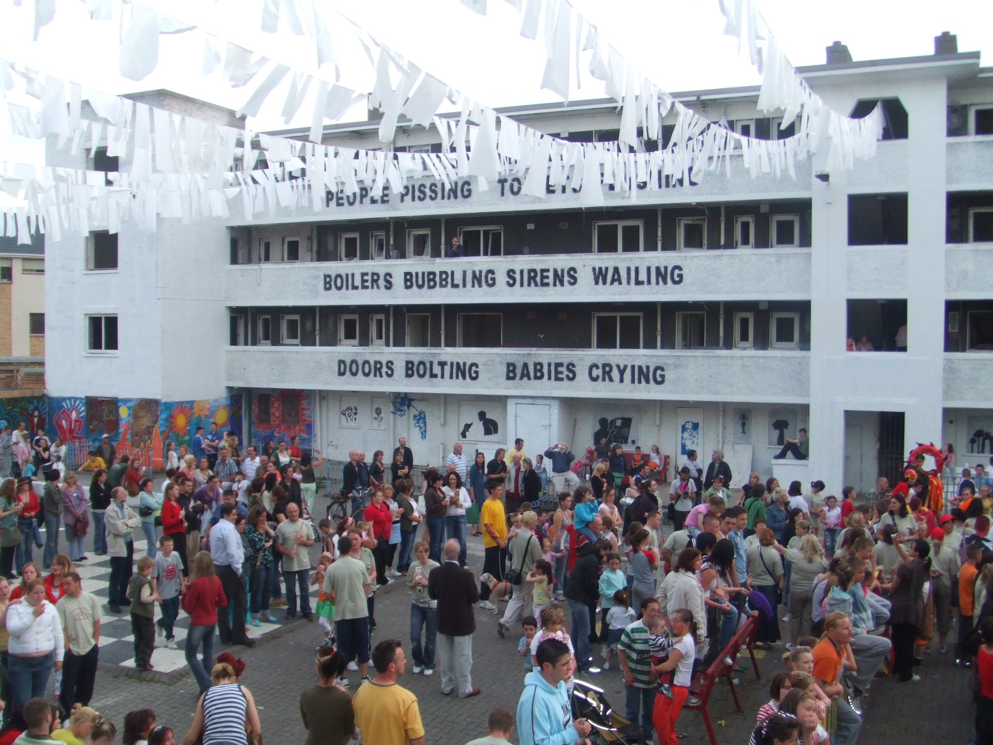
PLOTS – mapping Dublin 8
PLOTS project invites you to map your current 2km run, walk, cycle route

PLOTS is a project created by artist Seoidín O’Sullivan that invites you with Mapping Green Dublin to create a map of your current 2km run, walk or cycle route.
Your PLOTS Map will form an integral part of our Dublin 8 community atlas, building a picture of our valuable public green infrastructure across Dublin’s south west inner city. Let’s work together to make our city bike and pedestrian friendly and give everyone fair access to green space.
You can create your map in two ways:
- Use My Map app on your phone and share.
- Draw and photograph your map and share.
Please click HERE to get all the information you need to be part of this mapping project.
Mapping Green Dublin’s research is funded by the EPA and is a partnership between UCD Geography, Common Ground, Artist Seoidín O’Sullivan and Connect the Dots.