Mapping Green Dublin
Mapping Green Dublin was a collaborative action research project led by the School of Geography, University College Dublin, in collaboration with Common Ground, and artist Seoidín O’Sullivan. The project was undertaken across Dublin 8 from 2019–2021 and was funded by the Irish Environmental Protection Agency.
Mapping Green Dublin grew out of a desire to map and understand greenspaces in Dublin and to identify issues acting as barriers to, and opportunities for delivering, real change.
The project adopted a community-led approach to the development of a greening strategy for the neighbourhood, meaning the strategy was grounded in the community, emphasizing collaboration and brought in broad ideas of social and environmental justice.
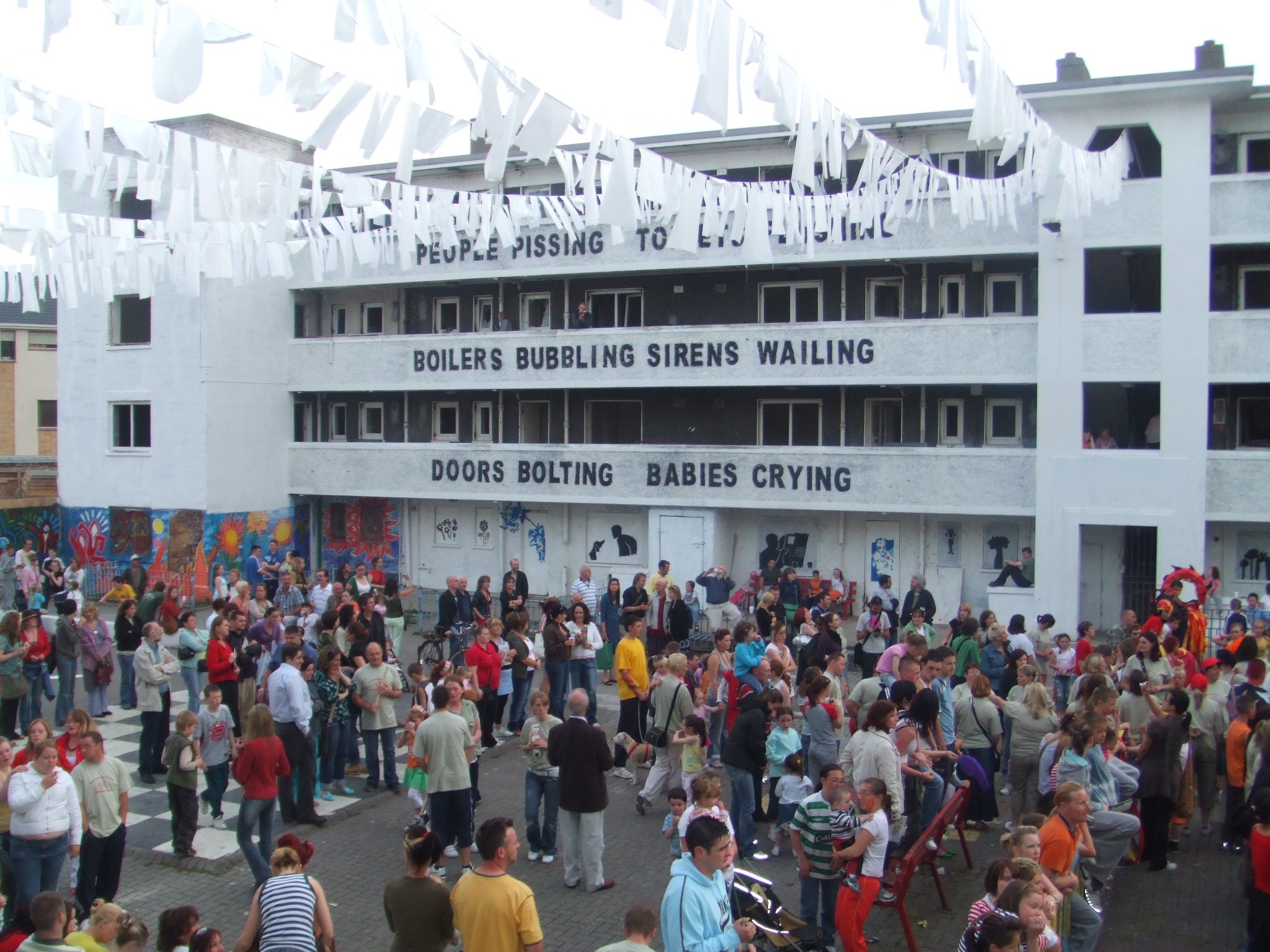
Dublin 8 is a district that has been undergoing sustained transformation over a period of more than twenty years, driven in large part by central and local government initiatives and incentives. While there are significant large scale greenspaces across Dublin such as the Phoenix Park, St Stephen’s Green and Merrion Square, the geography of greenspace is highly uneven.
The Dublin 8 Green Bridge Forum (formerly named as the Dublin 8 Greening Form) emerged out of the Mapping Green Dublin research as one of the outcomes to sustain community-led greening in the area.


The final report of Mapping Green Dublin was launched on June 10th 2021.
You can find out more about the research project here.